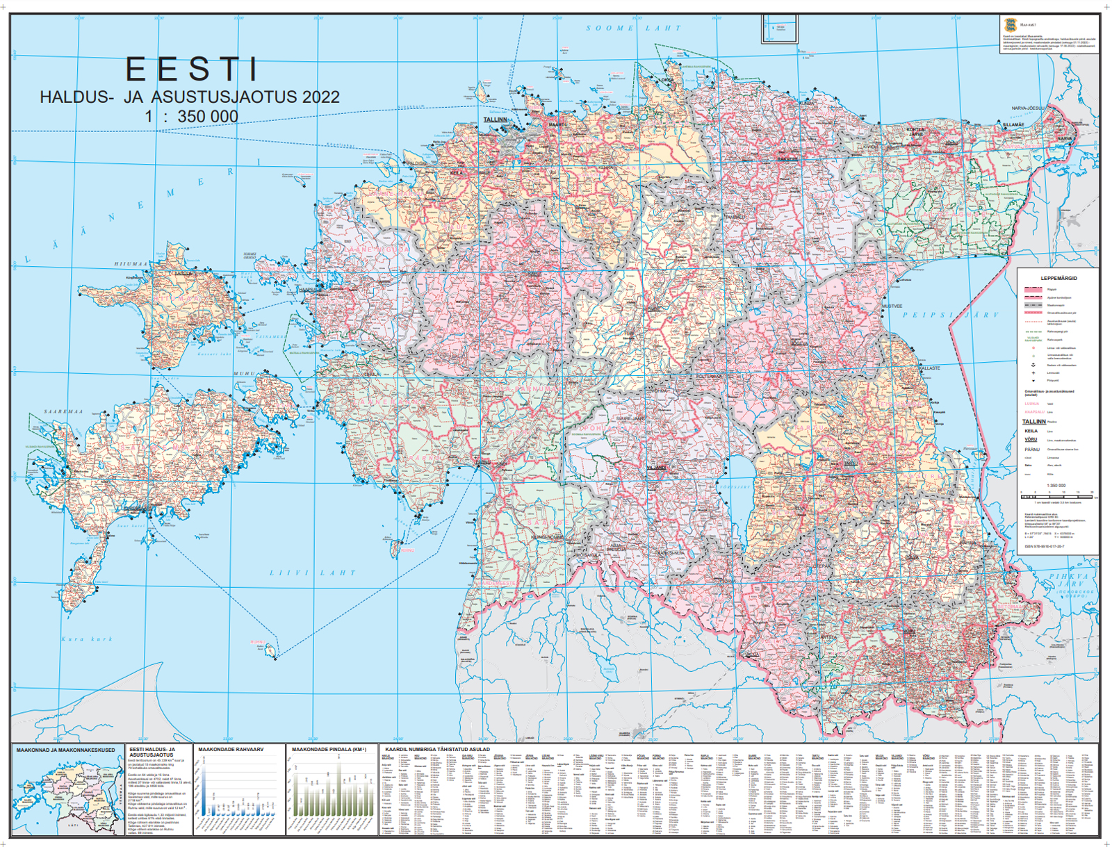
Wall Map of Estonian Administrative and Settlement Division 1:350 000
The wall map of Estonian Administrative and Settlement Division is at a scale of 1:350 000. The projection of the wall map is L-EST97. The data of the wall map is derived from the Estonian Topographic Database, the Cadastral Register, the Environmental Register and Statistics Estonia.
The following information is presented on the map:
- Geographical background: water network; roads and railways; airports and ports; national parks with names; geographic names.
- Thematic content: state border; county and municipality boundaries; settlement boundaries; names of municipalities and settlements; locations of municipality administrations; border checkpoints.
The map includes the index map of counties and diagrams of counties' areas and population.
| Data properties | |
|---|---|
| Format | PDF (1000dpi) |
| Projection | L-EST97 |
| Scale | 1:350 000 |
| Updated | The release date is 1 January 2026 |
Downloadable maps
- Administration and Settlement division Map in PDF format ( 37.9 MB, 21.01.2026)