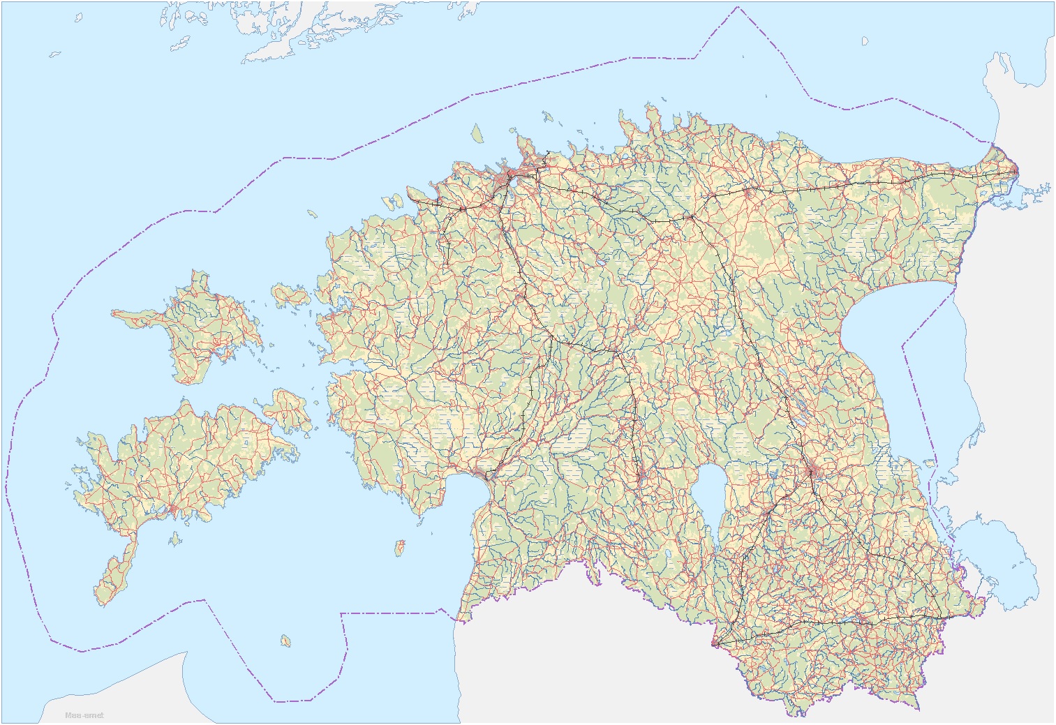
Generalized Estonian Topographic Data
The dataset is generalized from the Estonian Topographic Database as of November 2016.
Data structure (layer name - description and attributes):
- Tee - major road network; road type, number and name
- Vooluvesi - major river/stream network; type,code,name
- Rööbastee - major railroad network; no attributes
- Piir - state borderline; type
- Kohanimi - major place names; type and name
- Kõlvik - land use (rural areas, forests, swamps and bogs, waterbodies, open areas); type, name of the waterbody
Please refer to the Land Board when using the data. For example: "Base map: Land Board 2016".
Download Data
- Mapinfo MID/MIF format ( 21.3 MB, 20.12.2016 )
- ESRI Shape format ( 29 MB, 20.12.2016 )
- AutoCAD DXF format ( 45.8 MB, 20.12.2016 )