Estonian Basic Map 1:20 000
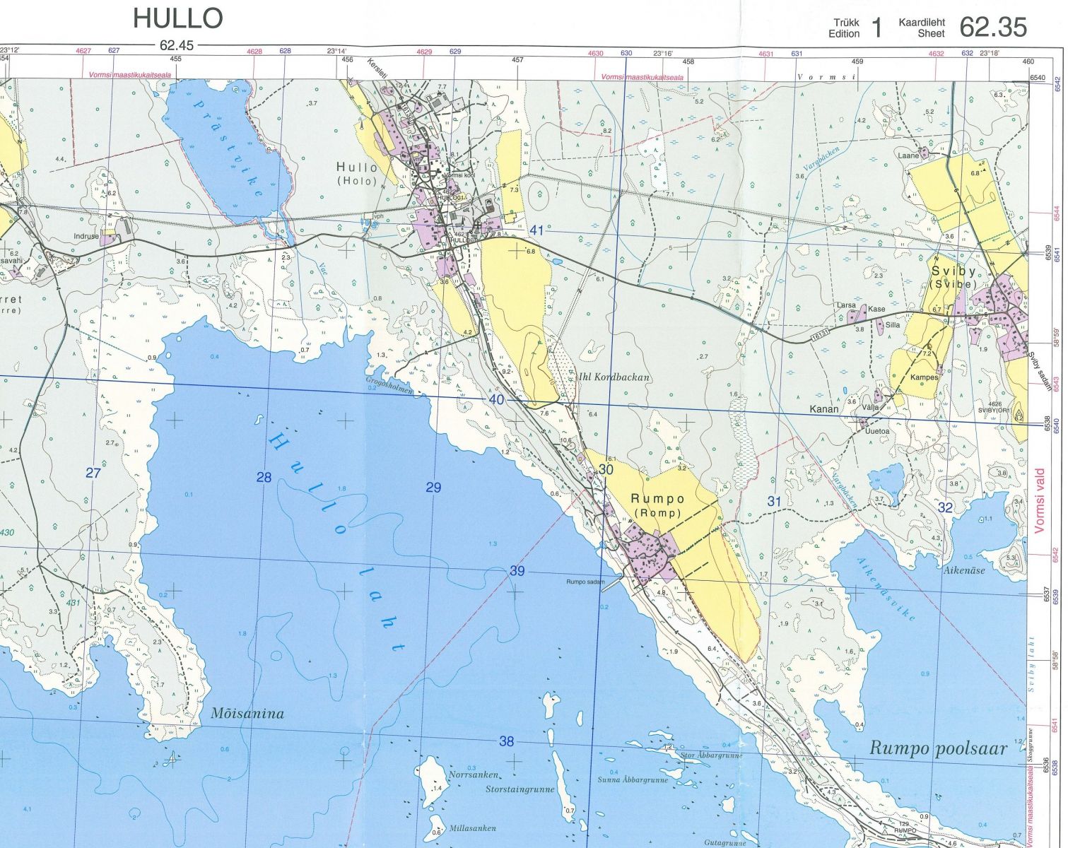
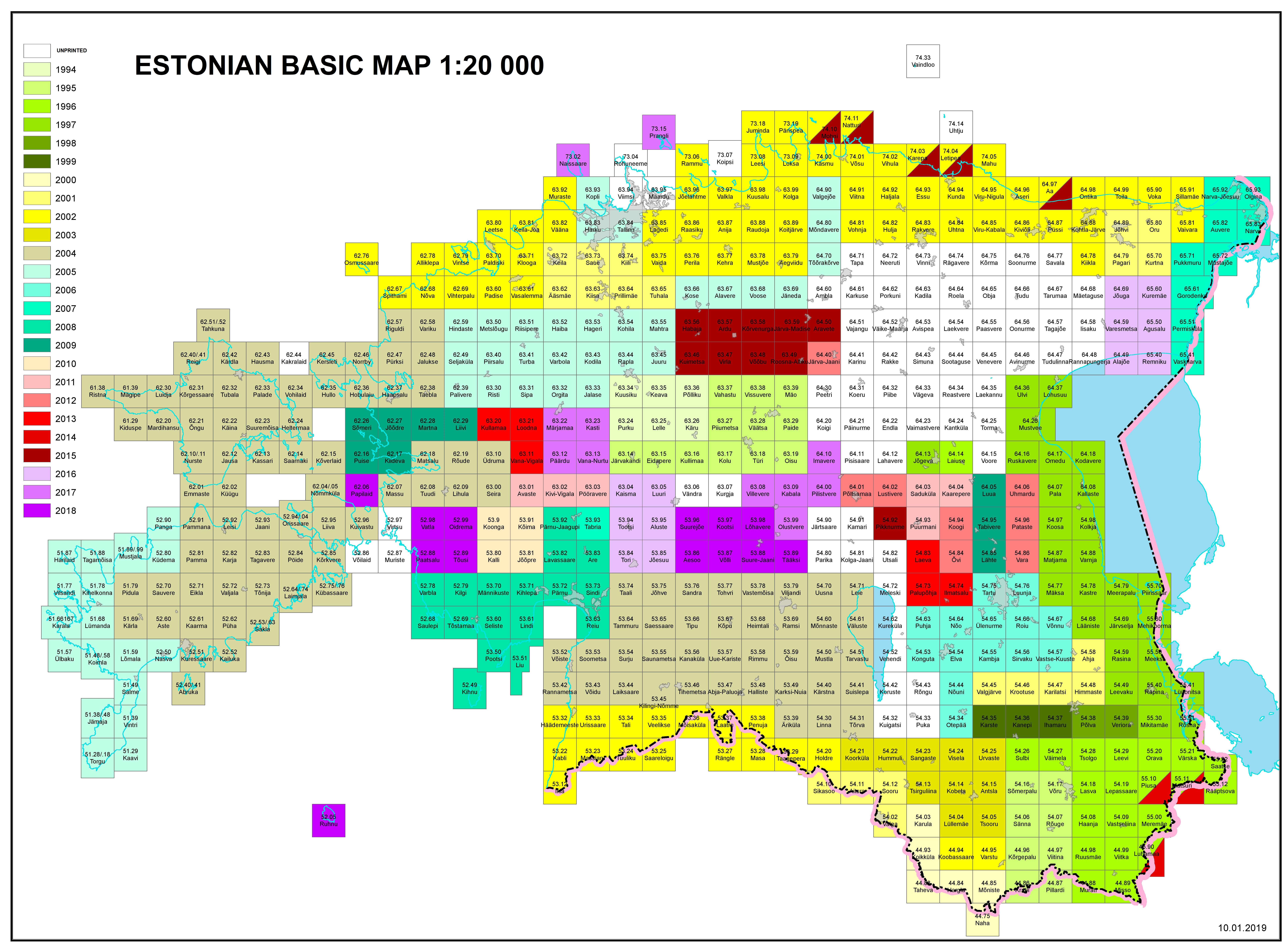
The first manually produced Estonian Basic Map sheets were printed in 1994. The printed Basic Map has a scale of 1:20 000 instead of the 1:10 000 nominal scale of the digital data. The production has been fully digital since 1996. The Land Board procures the compilation and publishing of printed maps through public tendering from mapping companies. The publisher is responsible for the following works:
- Generalisation of data from the scale 1:10 000 to 1:20 000
- Adding of height contour lines
- Editing of geographic names
- Editing of map layout to make the information on map correct and readable
- Preparations for printing and organisation of printing
In 1997, a strategic decision was made to complete the orthophoto and vector database coverage first and to produce printed maps only for areas of the highest demand. In 2002, a new printed map sheet layout was designed in cooperation with the Estonian Defense Forces to meet the needs of the latter. The Estonian Defense Forces have printed numerous sheets since then. Plotter maps are available from the digital data where it is completed.