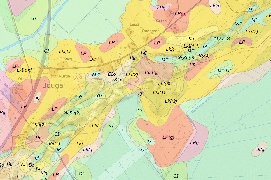
Estonian Soil Map
The digital soil map of
The Land Board uses the data for land valuation purposes. Other users include the Ministry of Rural Affairs, agricultural advisers, forest managers, etc.
The data covers the whole
Since the end of the project in 2000, the map has not been updated, however in 2012-2015, a significant effort was made to improve the technical quality of the data.
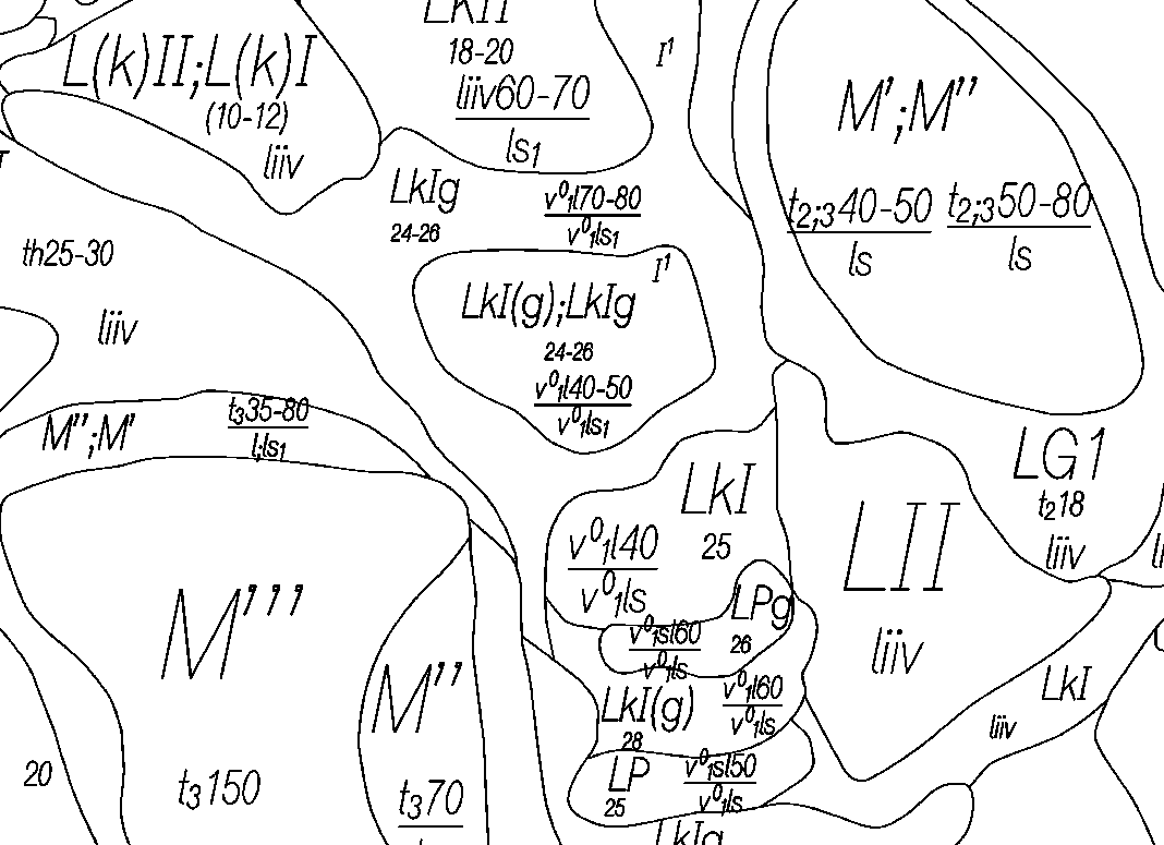
Example picture of GeoTIFF format dataset ( 103 KB, 28.04.2015 )
| Data properties | |
|---|---|
| Format | Esri geodatabase (GDB), SHP, MapInfo Extended TAB and GeoTIFF |
| Data structure | vector and raster |
| Scale | 1:10 000 |
| Cover | Covers the whole country, but no data is available for densely populated areas, for waterbodies and for small islets with no soil. |
| License | Please refer to the Land Board and date when using the data. For example: "Soil map, Land Board 2001" Detailed licence terms |
Free download
- Full dataset (SHP) ( 817.9 MB, 1.03.2017 )
- Full dataset (GDB) ( 562.4 MB, 1.03.2017 )
- Full dataset (Extended TAB) ( 667.7 MB, 18.01.2022 )
- Full dataset (GeoTIFF) ( 1.1 GB, 28.04.2015 )
How to use
Soil Web Map