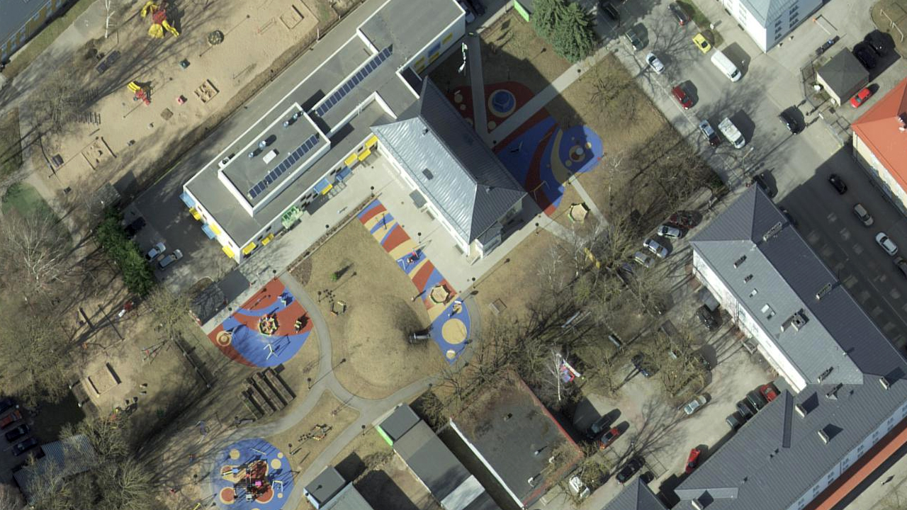
Orthophotos
Orthophoto is a processed aerial photo from which distortions caused by terrain relief, camera tilt relative to the ground at the moment of exposure and camera central projection are removed. Digital orthophoto has a certain pixel size or resolution, which shows the smallest indivisible exposed area on the ground (Ground Sampling Distance, GSD).
Orthophotos have a nationwide coverage and correspond to the scale of 1:5000-1:10 000 (pixel size 20-40 cm). Orthophotos for densely populated areas are produced with the pixel size of 10-16 cm.

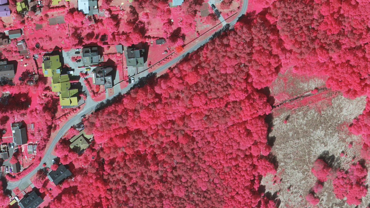
CIR images are used mostly in remote sensing applications in forestry, agriculture, environmental monitoring, etc. Near Infrared, Red and Green channels are used.

| Data properties | |
|---|---|
| Format | GeoTIFF, ECW |
| Data structure | raster |
| Scale | 1:10 000, settlement areas 1:4000 |
| Update frequency | Annually about half of Estonia's territory is covered with new photos, larger settlements every year. |
| Licence | Open Data License Please refer to the source of origin and date when using the data. For example: "Orthophoto 21.05.2024, Republic of Estonia Land and Spatial Development Board" |